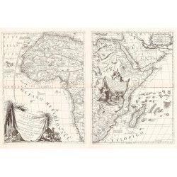
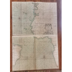
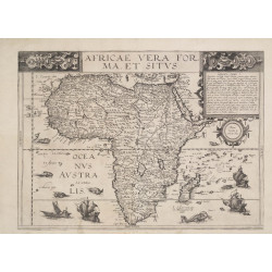
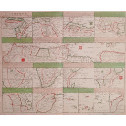
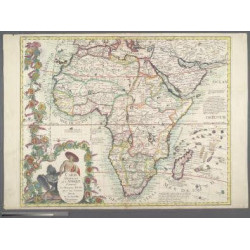
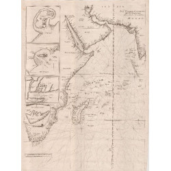
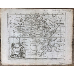
The history of African maps is rich and complex, reflecting both indigenous knowledge systems and external influences. Long before European colonization, African civilizations such as the Egyptians, Malians, and Ethiopians developed sophisticated ways to represent geography through oral traditions, symbolic diagrams, and early cartographic works like those of Al-Idrisi and the Timbuktu scholars. During the Middle Ages, Arab and Islamic scholars produced detailed maps that included extensive knowledge of Africa. With European exploration and colonization from the 15th century onward, European cartographers began producing maps that often distorted African geography to fit colonial agendas. These colonial maps frequently ignored local knowledge and boundaries, leading to lasting geopolitical consequences. In the modern era, African cartography has evolved with technology, blending traditional geographic understanding with digital mapping to assert cultural identity, improve governance, and support development.